Join us as we explore our region.
Welcome to the Appalachian Highland Adventure Challenge! We invite you to embark on an exciting journey through the breathtaking landscapes of our region. Join fellow community members in walking or hiking to the iconic fire towers and scenic overlooks that dot our beautiful Appalachian terrain. This summer, let’s get outside, explore nature, and boost our fitness while creating lasting memories. Whether you’re a seasoned hiker or just looking for a new adventure, our challenge offers something for everyone. Lace up your hiking boots and take the first step towards an unforgettable summer of exploration and exercise!
What is the challenge?
We encourage our community to explore our region by hiking to six of our iconic spots.
Pinnacle Fire Tower, Unicoi, TN (4.9 miles to tower)
Meadow Creek Fire Tower, Greeneville, TN (4.7 Mile loop from Houston Valley Campgrounds)
Rich Mountain Fire Tower, near Hot Springs, NC (5 miles)
Bays Mountain Fire Tower, Kingsport, TN (4 miles)
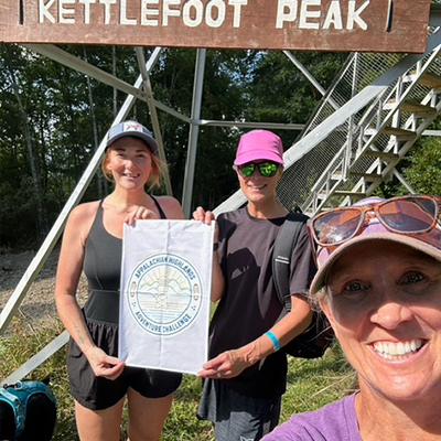
Kettlefoot Fire Tower, Johnson County, TN (4.5 miles)
Buffalo Mt. White Rock Overlook, Johnson City, TN (5.1 miles)
Sponsored by Up & At ‘Em Inc.
What you will receive?
Appalachian Highland Adventure Challenge
Level #1 – Passport & Completion Stickers $15
Level #2 – Passport, Completion Stickers & T-shirt $30
Level #3 – Passport, Completion Stickers, T-shirt, Flag & Finisher’s Medal $50
How long do I have to complete?
You need to hike to each location by November 21, 2025.
* Please send your completion photo and information to us at info@thegoosechase.org
How do I submit my proof of completion?
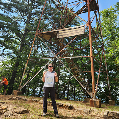
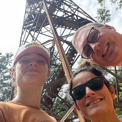
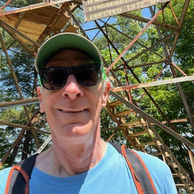
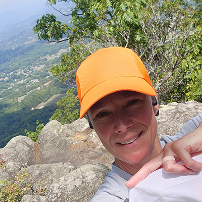
We request that you either e-mail us (info@thegoosechase.org) or tag us on social media (#TheGooseChase & #AHAC) a photo of you from that location. Please include in the photo a sign, the fire tower or the overlook view in your photo. Also, please include the location in your description.
Hike Directions
Passports will provide basic information to each location.
Notes from the trail….
- Kettlefoot is a 9 mile roundtrip hike.
- To get to Kettlefoot Fire Tower in Johnson County, Tennessee, follow these steps:
- 1. **Start in Mountain City, TN**: This is a central point in Johnson County.2. **Take Highway 67**: Head west on Highway 67 from Mountain City. You’ll stay on this road for several miles.3. **Turn onto Highway 421**: Look for the turnoff to Highway 421 and follow it.4. **Find the Forest Service Road**: After a few miles on Highway 421, you’ll need to turn onto a forest service road. This road can be somewhat rough, so a vehicle with good clearance is recommended.5. **Look for Signs**: Follow the signs for Kettlefoot Fire Tower. The road leading to the fire tower may not be well-marked, so keep an eye out for trailhead signs or information boards.6. **Drive to the Tower**: The final stretch will be a gravel or dirt road. Continue until you reach the parking area for the fire tower.
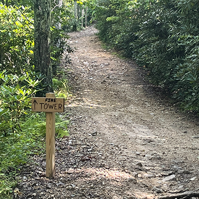
7. **Hike to the Tower**: If the road isn’t passable by car, there might be a short hike to reach the tower.
Make sure to check local maps or GPS for any recent changes or road conditions before you go. Also, it’s a good idea to let someone know your plans and expected return time, especially if you’re venturing into less-traveled areas. Enjoy your visit to Kettlefoot Fire Tower!
Meadow Creek Fire Tower
This was a tough one. It actually took me 2 trips to figure out this trail head.
On my first trip, my google maps gave me two options on the location. I took one of the options and parked on the side of a paved road and there was a nice trail. (No cell service) After walking straight up for 3-4 km, I told myself there is no way this is the location..:). I hiked for another 2 km or so and regained cell service. On my cell, I pulled up Meadow Creek Fire tower on maps and it was 12km away. Great hike, but not the one I was looking for.
-
On the 2nd trip, I traveled to the location given by “GooseChase”. (I should have done this the first time). The route is very similar to my first trip. I did loose cell service again. On this trip I did find the camp ground mentioned in the “Goose Chase” directions. The campground is completely closed and there is NO parking. The state is repaving and repairing due to floods last year. There is no real signage or directions to the trail head. IT may have been removed due to construction. I did figure out that the trail is across the road from the campground. So, you have to park on the side of the road and find it. It is only 1-2 meters off the side of the road, but it you need to know that it is there. I could see it on my google maps. But again, you have to really zoom in before the trail will show up on google maps.
-
When I hiked to the Fire tower I saw that there was parking located only 25-30 meters from the Firetower. After the hike, I drove about ¾ km past the campground and there is a sign for the Fire tower and a gravel road that will take you to the fire tower. I guess hikers could hike on this road.
Overall, it was like a scavenger hunt for this fire tower. But it is well worth the effort. If I was going to give any advice to hikers…Before leaving your house, I would pull up the trail and save it on your phone or print it out. Google Maps will show the trail in location to the campground, but I had to zoom in.
Great hike and great views. Hope this helps. – Cameron M.
Appalachian Highland Adventure Challenge Registration
Three levels of engagement
Level #1 – Passport & Completion Stickers $15
Level #2 – Passport, Completion Stickers & T-shirt $30
Level #3 – Passport, Completion Stickers, T-shirt, Flag & Finisher’s Medal $50
Youth Medium – 3X T-shirts available in both Level #2 & #3.
*To guarantee shirt and requested size, please register by October 15.
How do I receive my items?
We will be shipping items to you. If you would prefer a local pickup, please use promo code Local to save on the shipping and handling fee.
